UAV & Geospatial Systems
A map is only as good as the field work behind it. SEG's UAV and geospatial work is about the whole workflow: planning a collection, gathering data in the field, and turning it into maps and evidence people can use.
What it covers
- Training workflows
- Field-data collection
- Mapping
- Applied research
Who it is for
- Learners building UAV and geospatial skills
- Researchers who need field data from sensitive environments
- Institutions adding field-based components to their programs
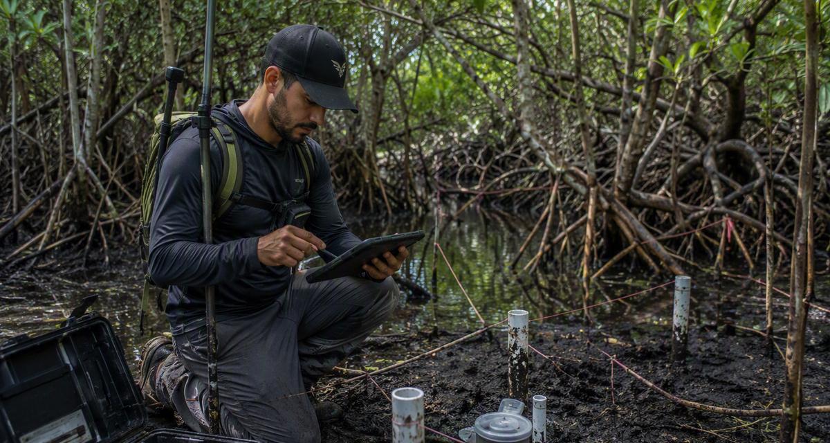
How an engagement works.
01Define the question
What needs to be known, where, and how precise the answer has to be.
02Plan the collection
Methods, timing and access planned around the site and its environment.
03Collect and map
Field data gathered, processed and reviewed into maps and findings.
Common questions.
Do you work in protected or sensitive areas?
Some UAV and geospatial work takes place in environmentally sensitive areas, planned around each site's access rules and conditions.
Can this be part of a training program?
Yes. Training workflows are one of the four parts of this capability area.
Talk to us about UAV & Geospatial Systems.
Tell us what you are working on and we will reply by email.